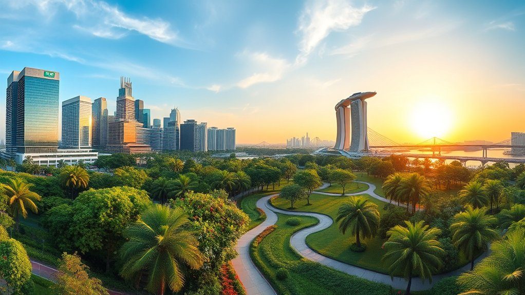
The Urban Redevelopment Authority (URA) has formally gazetted Master Plan 2025. The statutory blueprint will direct Singapore’s physical development and land allocation over the next 10 to 15 years. This statutory milestone concludes an extensive two-year public consultation exercise. More than 220,000 residents, industry professionals, and community representatives participated in dialogue sessions and mobile roadshows across 15 exhibition sites islandwide. The gazetted statutory document translates high-level strategic objectives from the Long-Term Plan into concrete zoning parameters, allowable gross plot ratios, and transport corridor designations.
As detailed in the official URA media release, Master Plan 2025 emphasizes sustainable urban living, climate resilience, and economic adaptability. The statutory provisions reinforce polycentric commercial growth, preserve heritage assets, and optimize underutilised brownfield land parcels. Through the interactive URA Master Plan framework, institutional investors, private developers, and property owners can examine specific parcel zoning revisions, plot ratio changes, and public amenity commitments across every planning sector in Singapore.
A central component of the new statutory blueprint is the delivery of quality housing closer to jobs and established transit nodes. The plan balances public housing flats and private residential condominiums across central and decentralised districts. By releasing well-located residential land parcels, the government seeks to moderate supply bottlenecks, maintain accessible homeownership, and integrate commercial conveniences into residential communities.
Bukit Timah Turf City and Prime Brownfield Housing
The redevelopment of Bukit Timah Turf City represents one of the most prominent brownfield transformations under Master Plan 2025. Spanning approximately 176 hectares, the former racecourse grounds will yield roughly 15,000 to 20,000 new residential units. The master plan designates the site for a balanced mix of public housing flats and private residences. This framework introduces public housing to Bukit Timah for the first time in four decades. At the same time, the master plan preserves substantial green corridors and selected historical grandstand structures.
State land releases within the precinct have already commenced through the Government Land Sales (GLS) programme. The initial residential parcel along Dunearn Road fetched a winning tender price of $1,410 per square foot per plot ratio (psf ppr). Developers have progressed with project execution on this prime site through Dunearn House, which establishes the baseline private residential pricing benchmark for the incoming neighbourhood. Prospective purchasers can track entry points and release updates via Dunearn House starting prices, which provide early indicators of buyer appetite in prime District 11.
The phased rollout of Turf City is poised to shift buyer attention toward District 10 and District 11. Market participants analyze how Turf City redevelopment is reshaping property values in Districts 10 and 11 to project secondary market capital gains and rental yields. The combination of upcoming Cross Island Line stations, conserved natural buffer zones, and pedestrian connections will transform this historic racing facility into a premier residential enclave.
Central Area Intensification and High-Density Mixed Parcels
Beyond prime suburban enclaves, Master Plan 2025 accelerates urban intensification across Singapore’s Central Area. The URA has designated selected parcels surrounding Newton Circus, Scotts Road, and Paterson Road near Orchard for higher-density redevelopment. These revisions grant elevated plot ratios for commercial and residential schemes that replace older office towers and strata commercial blocks with modern mixed-use developments.
This targeted densification addresses the demand for urban living among professionals who prioritise transit proximity. Mixed-use zoning around Newton and Orchard introduces street-level retail, childcare facilities, and sheltered pedestrian pathways that connect directly to MRT stations. By encouraging developers to combine luxury apartments with boutique offices and wellness hubs, the planning authority aims to sustain evening activity across traditionally commercial sectors.
Urban planners have also incorporated stricter sustainability standards for these prime central developments. Future projects must adhere to enhanced green building metrics, provide publicly accessible civic plazas, and incorporate on-site stormwater retention systems. These guidelines ensure that higher structural densities do not compromise environmental performance or pedestrian comfort.
Long-Term Residential Pipelines: Kranji, Dover, Defu, and GSW
Master Plan 2025 establishes clear planning parameters for expansive growth corridors across peripheral sectors. In the north, the impending closure and redevelopment of the Singapore Racecourse in Kranji will unlock 120 hectares of prime land. The URA intends to repurpose this substantial footprint into a comprehensive residential district that integrates leisure amenities, ecological corridors, and commercial spaces linked to the Woodlands Regional Centre.
In western and eastern planning zones, brownfield tracts in Dover and Defu will support steady housing production over the next decade. The Dover Knowledge District will combine academic institutions, technology research hubs, and medium-density apartments. Meanwhile, the ongoing transformation of Defu from an older industrial estate into an advanced enterprise and residential precinct adds diversity to suburban housing inventory. Further south, the progressive relocation of port terminals will unlock the Greater Southern Waterfront (GSW), where coastal housing and recreational assets will take shape.
Large-scale regional tenders illustrate strong institutional confidence in fringe growth sectors. A notable precedent is the Frasers Property consortium’s $2.13 billion Bayshore Drive GLS award, which set fresh benchmarks for master-planned coastal precincts along the East Coast. Master Plan 2025 replicates this integrated development model across Kranji, Dover, and GSW.
Polycentric Employment Nodes and Infrastructure Coordination
Economic decentralisation remains a fundamental pillar of Singapore’s urban strategy. Master Plan 2025 strengthens regional employment centres outside the Central Business District, including Jurong Lake District, Punggol Digital District, and Changi East Urban District. By distributing Grade-A office footprints and specialized light industrial zones closer to residential population clusters, the blueprint reduces peak-hour commuting burdens on central rail corridors.
Infrastructure integration serves as the backbone for these decentralised employment corridors. The statutory master plan aligns land use zonings with future rail networks, most notably the Cross Island Line, the Jurong Region Line, and extensions to the Thomson-East Coast Line. Every new residential precinct designated under Master Plan 2025 sits within a 10-minute walk of an existing or planned mass transit node. Active mobility corridors, cycling paths, and bus priority corridors are gazetted alongside road reserves to encourage public transport adoption.
The alignment between physical planning and transport infrastructure also supports industrial productivity. Advanced manufacturing estates such as the Jurong Innovation District benefit from direct logistics connections to Tuas Mega Port. This spatial synergy between production, living, and transit logistics enhances national economic competitiveness and maintains balanced land utilisation.
Market Valuation Dynamics and Buyer Considerations
The gazetted master plan provides transparent visibility for private home buyers, en bloc sellers, and corporate property investors. Transaction metrics published through the URA developer sales records demonstrate that developments situated within gazetted growth corridors consistently command resilient capital premiums. Buyers recognise that long-term state commitments to infrastructure, schools, and green spaces support stable secondary market valuations.
Land acquisitions in brownfield locations such as Turf City and Bayshore have established new cost floors for suburban and city-fringe private housing. Developers must price outgoing units to reflect land tender bids, rising construction expenses, and financing costs. Consequently, early-phase private launches within these transformative precincts offer advantageous entry levels relative to later phases that will launch alongside completed transport infrastructure.
For property owners and prospective purchasers, Master Plan 2025 clarifies the trajectory of Singapore’s residential expansion. The strategic focus on brownfield redevelopment, transport integration, and decentralised employment hubs ensures steady housing supply without sacrificing environmental sustainability. Market participants who align their acquisition strategies with these gazetted growth corridors stand to benefit from capital preservation and structural urban appreciation.



2 thoughts on “Singapore Gazettes URA Master Plan 2025: Strategic Housing and Land Use Blueprint”