Tampines is not waiting for a single future project to change the town. Its next phase is already unfolding across three distinct areas: the growing neighbourhoods of Tampines North and Tampines South, and the planned renewal of Tampines Regional Centre. Singapore’s gazetted Master Plan 2025 provides the current planning framework, while individual projects will still depend on detailed design, tenders and construction schedules.
That distinction matters for homebuyers. A land-use plan can show the intended direction of an area, but it does not guarantee a particular completion date, property price or investment return. Here is what the official plans confirm, what remains under study and how buyers can assess the changes without treating every planning proposal as a done deal.
Master Plan 2025 is now the relevant planning framework
URA’s Master Plan is Singapore’s statutory land-use plan and generally guides physical development over the next 10 to 15 years. Master Plan 2025 has replaced the draft-stage material that was circulating when this article was first published. An overview of how the plan was finalised is available in our Master Plan 2025 update.
For Tampines, the official picture is broader than a headline housing number. URA identifies established town amenities, employment nodes in the East, new homes, mixed-use centres, active-mobility links and rail improvements as parts of an integrated strategy. Tampines North and South began taking shape before Master Plan 2025: URA says their first housing developments were launched in 2014 and 2018 respectively.
The earlier version of this article cited 21,000 new homes, including 4,000 private units, and described them as a fresh plan spanning Tampines North and South. The current URA East Region plan for Tampines does not restate that total. Buyers should therefore not read 21,000 as a newly announced Master Plan 2025 commitment or assume all those homes remain unlaunched. It is safer to check each HDB sales exercise or Government Land Sales site separately.
Tampines North is becoming a fuller mixed-use district
Tampines North is the more advanced of the two newer neighbourhoods. Public housing has been introduced progressively, and private and executive-condominium sites have added other tenure and price options. The planning aim is not simply to place more blocks on the town’s northern edge, but to support them with transport, shops, food, community facilities and public spaces.
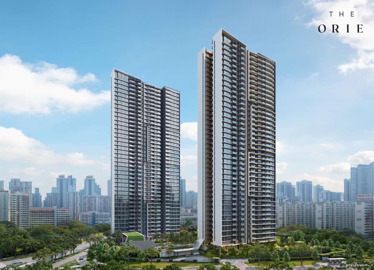
URA confirms an integrated transport hub connected to the future Tampines North MRT station. The associated mixed-use development is intended to include a hawker centre, community club and other amenities. This is the planning context for the integrated development discussed in our report on the Tampines North mixed-use private housing project, although buyers should rely on the project’s current approved documents for exact unit counts, facilities and completion dates.
The practical benefit is a more self-contained neighbourhood: residents should eventually have more daily needs within walking distance and stronger links to the rest of the town. However, households buying before all facilities open should assess today’s walking routes, bus connections and retail options rather than valuing the home solely on the completed vision.
Tampines South will use an existing Downtown Line station
Tampines South is being developed around existing infrastructure near Bedok Reservoir and Tampines West. URA says a new neighbourhood centre will be seamlessly linked to Tampines West MRT station and is planned to include a supermarket, food court and community plaza. This is an important correction to claims that new Downtown Line stations are being added for the neighbourhood. Tampines West station already operates; the confirmed proposal is better integration between the station and the new centre.
For buyers comparing future public-housing opportunities, flat classification, waiting time, eligibility and applicable occupation rules still matter more than a broad master-plan label. Our guide to Tampines and other BTO locations explains the type of project-level checks applicants should make. Launch details can change from one exercise to another, so the HDB sales page and project brochure should remain the final reference.
Green space is part of the town structure, not a price promise
The green network is one of the clearest elements of Tampines planning. URA describes the newly completed Tampines Boulevard Park as a continuous community green space in Tampines North. The HDB Tampines Town Design Guide places this park within a wider network that includes Tampines Eco Green, Sun Plaza Park, waterways, park connectors and cycling routes.
This network can improve access to recreation and shape walking or cycling routes, but proximity should be checked block by block. A straight-line distance on a marketing map may not reflect the actual route, road crossing, construction hoarding or entrance location. Green views may also change as adjacent parcels are developed. Parks can be a meaningful lifestyle consideration; they are not evidence that a particular home will appreciate.
Cross Island Line Phase 1 has a 2030 target
The most consequential future transport project for Tampines North is the Cross Island Line. According to LTA’s Cross Island Line project page, Phase 1 will comprise 12 stations over 29 kilometres and is targeted for completion in 2030. Tampines North is one of those stations. The line will serve areas including Loyang, Pasir Ris, Defu, Hougang, Serangoon North and Ang Mo Kio, with interchanges to existing rail lines elsewhere along the route.
The Cross Island Line–Punggol Extension is a separate project targeted for 2032. It is intended to provide a more direct link between eastern areas such as Pasir Ris and Tampines North and north-eastern areas such as Punggol and Sengkang. These are official targets, not guarantees immune to construction or commissioning changes. Buyers should also distinguish Tampines North station from the existing Tampines, Tampines East and Tampines West stations.
Regional Centre renewal is less fixed than the rail programme
Master Plan 2025 also looks at the established Tampines Regional Centre. URA says it is intended to receive more housing, workspaces and community facilities. The agency also plans a more seamless pedestrian and active-mobility network, including pedestrianisation of Tampines Central 5, and says redevelopment of Tampines Bus Interchange into a mixed-use development with an integrated transport hub will be studied.
The wording is important. The URA plan for Tampines Regional Centre confirms the planning direction, but a study is not the same as an awarded development contract. Specific building forms, construction staging and delivery dates can follow later. Existing owners may eventually gain new amenities and improved public spaces, while also experiencing interim works or changes in traffic flow.
What homebuyers should verify before committing
Start with the exact parcel, not the general Tampines story. Check the current URA zoning and surrounding plots, the official sales brochure, tenure, expected completion date and the walking route to transport. For an HDB flat, confirm classification, eligibility, grants, Minimum Occupation Period and resale conditions. For private housing or an executive condominium, review the approved plans, maintenance obligations, financing limits and the developer’s stated completion timeline.
Then separate present-day utility from future upside. An operating MRT station, completed park or open supermarket can be assessed now. A planned hub or studied redevelopment carries timing and execution uncertainty. Tampines has a substantial base of housing, jobs and amenities, and the confirmed plans should deepen that mix. They do not support a blanket forecast that every property will rise in value, nor do they remove the need to compare price, layout, household needs and alternative locations.